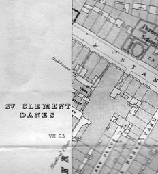
The capital always had plenty of “islands” – chunks of built territory that had a sense of being cut off from close neighbours. Wapping Island and Bermondsey’s Jacob’s Island were at least separated off by ditches and inlets. But there was no such topographical feature at “Piggy’s Island” – a 19th-century name for Goldsmith’s Square, halfway along Goldsmith’s Row, off the Hackney Road.
“Jews’ Island” was a not-complimentary gentile term for a run of dwellings in Bethnal Green, at Teesdale Street and Blythe Street, built by Jewish developer Woolf Davis and inhabited by Jewish residents.
“Snatcher’s Island” stood at the junction of Wild Street and Great Queen Street in Covent Garden, on the north-eastern corner. Its formal name was Strickland’s Yard but it was called Snatcher’s Island because of the belief that it had more than its average quotient of bag-snatchers, snotter-haulers and other tea-leafs in residence.
Sadly, it had nothing to do with bodysnatchers, despite the several graveyards in the vicinity. (Opposite and to the south was a tiny court, whose nickname, Very Silly Court, made it into the Ordnance Survey map of 1874, see below – it’s just heading off the left-hand side of the map.)
The pictures below show Snatcher’s Island just before demolition, sketched from a vantage point on the roof of the Lambert & Butler factory in Drury Lane/Wild Street. They appear in the 1924 book London Alleys, Byways and Courts, written by Alan Stapleton and illustrated by his drawings.


